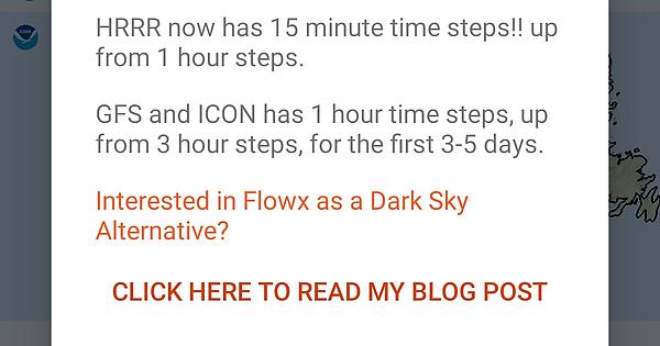
When installing latest beta for the first time I see a message never seen before. Probably nothing but? Did you insert a new/different gfs model?
Not sure if bug or by design. I exported a json which I thought would save the entire set up of the program. To test, I deleted a graph then imported the saved json and the graph did not come back. These json exports should save every parameter for a full restore of personal setup.
Why do you need 2 clicks for refresh? What does the 2nd do that the first does not? I always hit it a 2nd time and it is hidden from a ui perspective.
When double clicking the time to return to last real radar the time should show differently than actual time…yellow box behind maybe
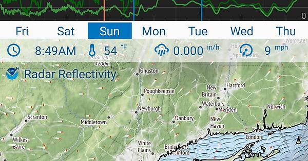
I think this is on the todo list already but the data bar where the time is shown needs a less transparent or other color background because it’s hard to read when dark purple precipitation is behind it.
Change text on graph model lines to ←H, N→,G→
Auto center and maybe auto center and auto space out the enabled map buttons using entire map screen width. The left button is too close to the edge with the lip of my phone case it is hard to click and takes a few tries.
I have 8 models at my location and it is my understanding that other models appear/disappear based on location. The double click graph compare is good but another way to compare on the map layer would be helpful. Under my location how about BOLDING the current model and adding a checkbox on each model then on the map screen add a cycle icon button that cycles from top to bottom to top of the enabled model list this way you can quickly cycle between them in map view.
Add a naming convention to date timestamp the json exports and auto upload to dropbox or google drive.
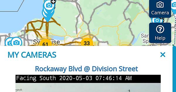
One place I work is in an underground garage with no windows…before I leave to go home I like to see if the roads are wet/snowy. One thing I liked with windy was having live cams still/video integrated in to locations with 1 click. I believe they used 511ny.org in my location. How about an empty field where we can past the url for a live cam associated with each location and then add a button to display the image in the map area or integrate a cam apps api?
Since I deleted windy I keep a launch icon in the weather folder that runs this for now
BUG:
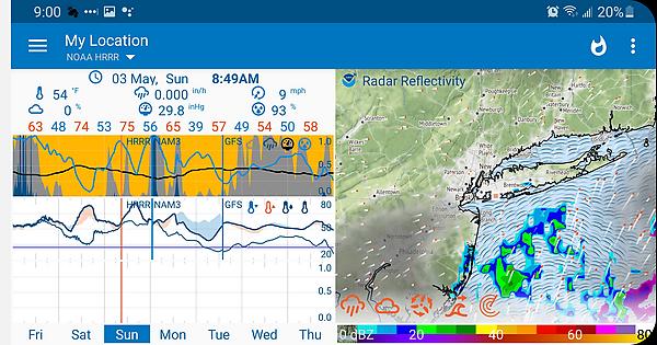
When rotating to landscape 3rd graph is corrupted


