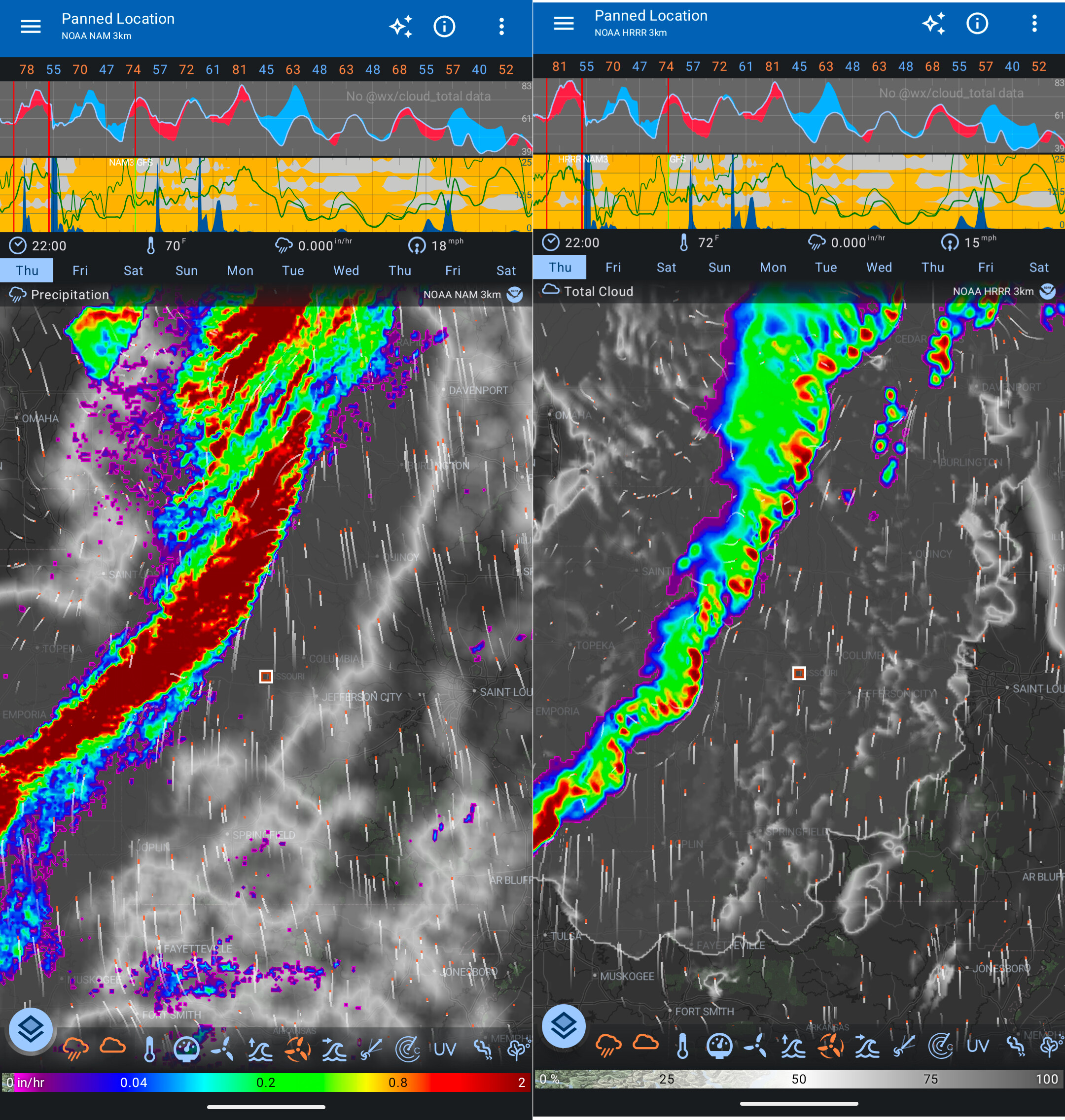
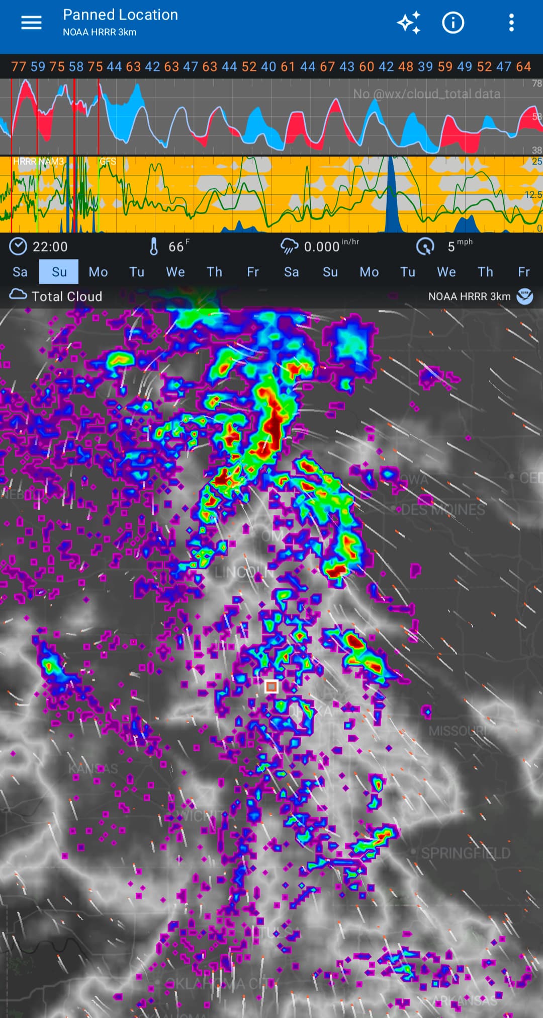
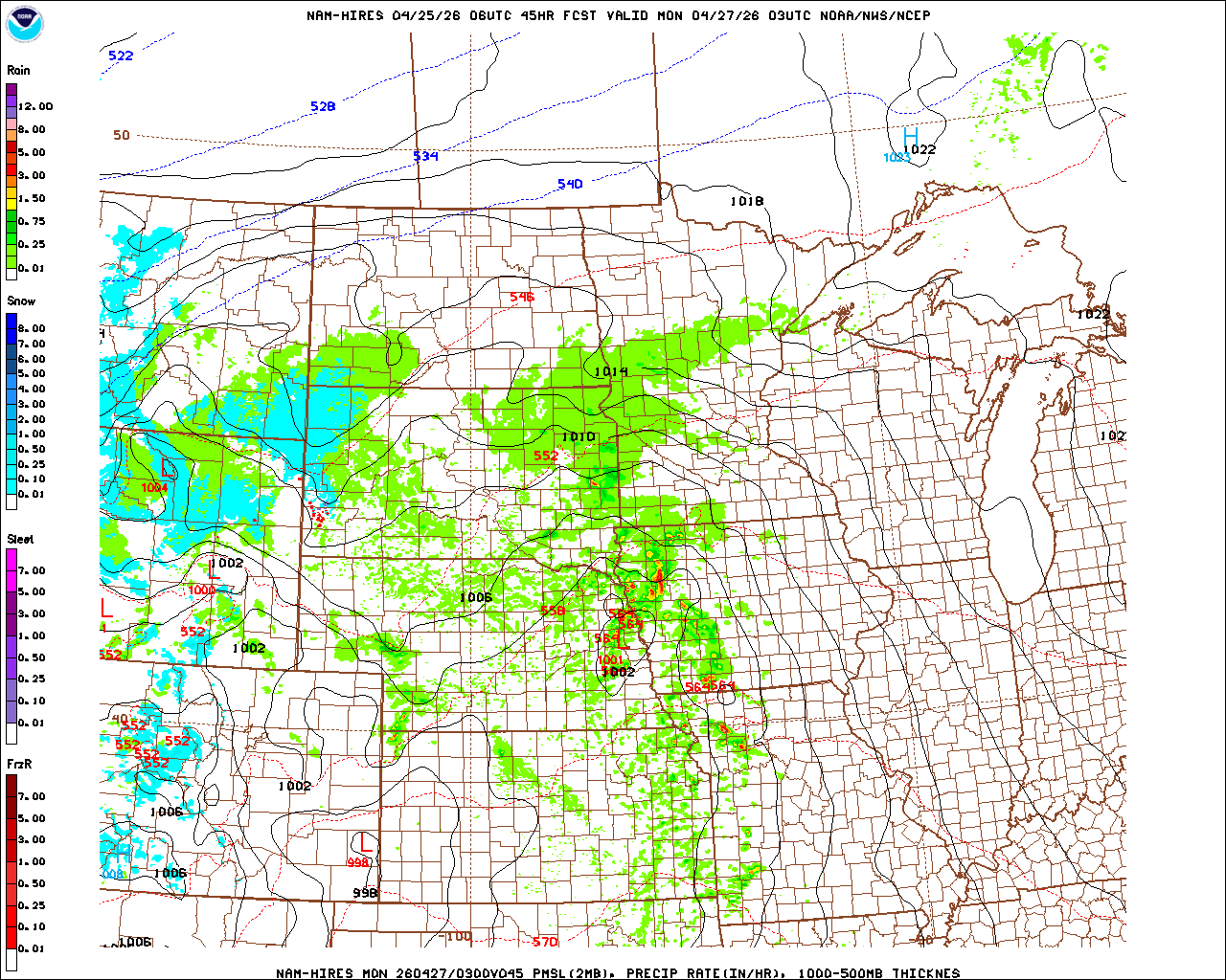
I suggest 2 “fixes” (that could perhaps be added simultaneously). And one additional option.
Fix the NAM to use the “combined reflectivity” for a single run. Versus the Max reflectivity. (I have struggled to find the exact product. HREF has a combined 4hr or a “paintball” for hourly)
Use the 48hr HRRR runs that are available at the same times as the NAM3 (0/6/12/18z). As to keep the same model/programming/logic for the first ~48 hours.
I understand (and appreciate to a certain extent) the usefulness of the max reflectivity. It is excellent to find a most reasonable ETA. Can it be an togglable option if the 1st fix (Single run vs Max Reflectivity) is implemented?
My biggest issue is when the storms go “BOOM” after 12 hours, but really it’s the theory/display change than anything meteorological.
Sorry, I don’t know what to compare in the screenshot. Please be explicit. I could guess but then if I guessed wrong, we’d be talking about different things and wasting time.
I really don’t understand what you are meaning in suggestions 1-3. I add weather model data to Flowx. I don’t generate new data or manipulate/change data.
Also the data you are looking at is “Precipitation”, not “Reflectivity” - this is why I’m further confused.
630:743262305:d=2026042406:PRATE:surface:28 hour fcst:
631:743712016:d=2026042406:PRATE:surface:27-28 hour max fcst:
HRRR
1053:589095041:d=2026042400:PRATE:surface:anl:
I do wonder what a comparison of the NAM 630 Prate and the 631 Prate would look like.
Sadly I don’t know of an outside GRIB generator to show specific times. But based on a few of the hard transitions does make me think the current NAM is showing the Max Forecast rates of all the members (631)